Mapping Detroit: The genealogy of Detroit neighborhood names sometimes leaves out Detroiters
There is a genealogy to Detroit’s neighborhood maps and naming choices. Oftentimes, the line drawing and naming did not involve Detroit residents, — the very people who reside in a geographic area — because naming and claiming space can be very political or have broader economic or real estate aims that are not concerned with resident perspectives.
Detroit neighborhoods have been mapped many, many times by several individuals, groups, and entities. Some Detroit neighborhoods are best understood as historic districts, others are born of strong neighborhood associations, some are simply terms given to a geographic area, and others are strictly defined by non-profits and investing organizations.
The city’s historic districts have had the most staying power. Corktown, through its significant changes over the years, remains the oldest neighborhood with the oldest name in continuous use in Detroit.
One of the most influential programs that defined much of the city’s neighborhood was the United Community Services, now known as the United Way, which drew “subcommunities” after each Census as a way to subdivide and track change over time in the city. Through the 1960s and 1970s, those defined areas were referred to as Detroit’s neighborhoods, but with population loss many of those neighborhood names were forgotten or at least much less recognizable. The former subcommunities were adopted as Detroit’s official master plan neighborhoods.
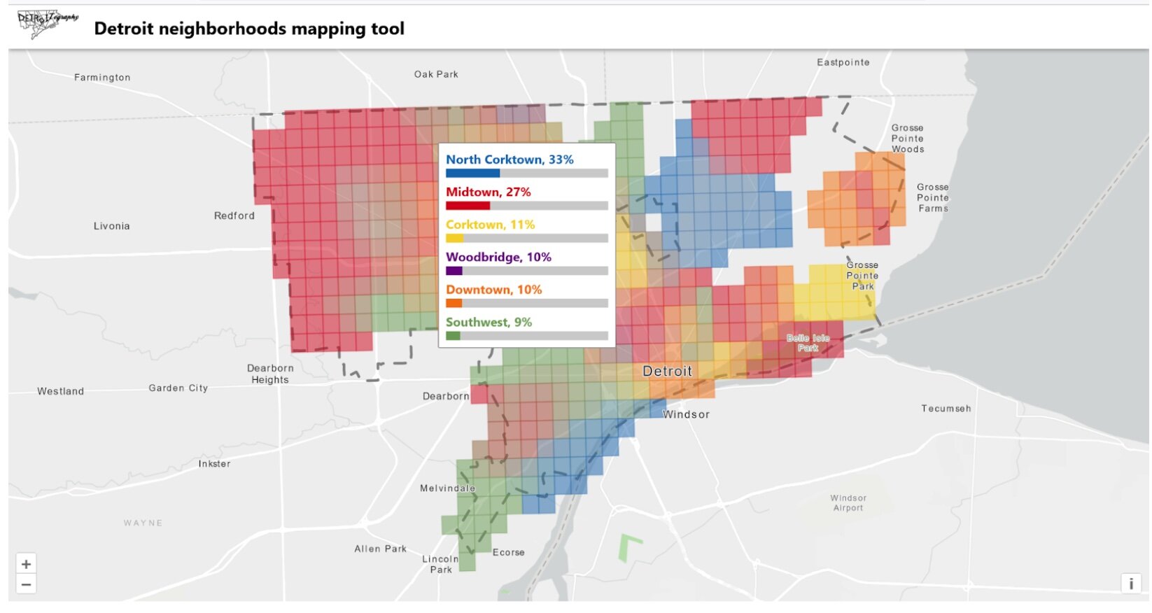
There is a genealogy to Detroit’s neighborhood maps and naming choices. Oftentimes, the line drawing and naming did not involve Detroit residents, — the very people who reside in a geographic area — because naming and claiming space can be very political or have broader economic or real estate aims that are not concerned with resident perspectives. That’s the reason that we launched Detroit-Neighborhoods.com.The map included here explores our initial responses of mapped neighborhoods by residents and the agreement between them. An area with a single solid color signifies agreement for the neighborhood name, whereas an area with a mix of colors or a “muddied” color means there is contention. Only neighborhood names with at least four submissions are shown in the map.
Countless “paper neighborhoods” have proliferated in Detroit. We questioned all of the “neighborhood” map products available in 2013 and others had similar concerns about places called “The Eye” or “Fishkorn” and the, at the time, “Corktown Shores.” Presently, the neighborhood name that is most confusing is “Buffalo” near the recently named Banglatown neighborhood at the Hamtramck border, that was quietly renamed “Buffalo-Charles” for the street intersection.
Yet, no residents of the area have ever used or have heard of the name. Even the Planning Department’s outreach for the Strategic Neighborhood Fund’s Banglatown framework never listed either Buffalo or Buffalo-Charles, but instead Jayne Field. Since the City’s Department of Neighborhoods has defined the name, Buffalo-Charles has entered the media discourse – including a handful of recent media mentions in 2023.
Neighborhood naming by city government has larger implications too. All of the incorrect names or made up boundaries that the Department of Neighborhoods has adopted get added to the open data portal, which is then downloaded – not by Google – but by a group called Precisely, formerly known as Maponics, that has made its business to map every neighborhood in the world.
Precisely and Maponics were the preferred data providers for real estate companies like HomeGain, Realtor.com, and Zillow that wanted to optimize searching for a new home, but were quickly contracted by any new digital company offering a map with search function. The neighborhood names many people were mad about on Google Maps came from Precisely/Maponics not Google itself.
Detroit neighborhoods can be mapped, but we’d like to see every resident have the opportunity to provide input. You know your neighborhood, so help us join in and map it.
Related Articles
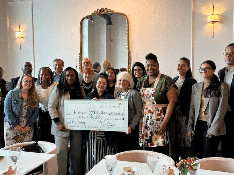
Detroit CDFI Coalition celebrates impact, advocates for funds to further propel growth, prosperity in communities
Detroit CDFI Coalition members continue to collaborate together, and advocate collectively for consistent Michigan CDFI funding to further propel their impactful mission-driven work in communities.
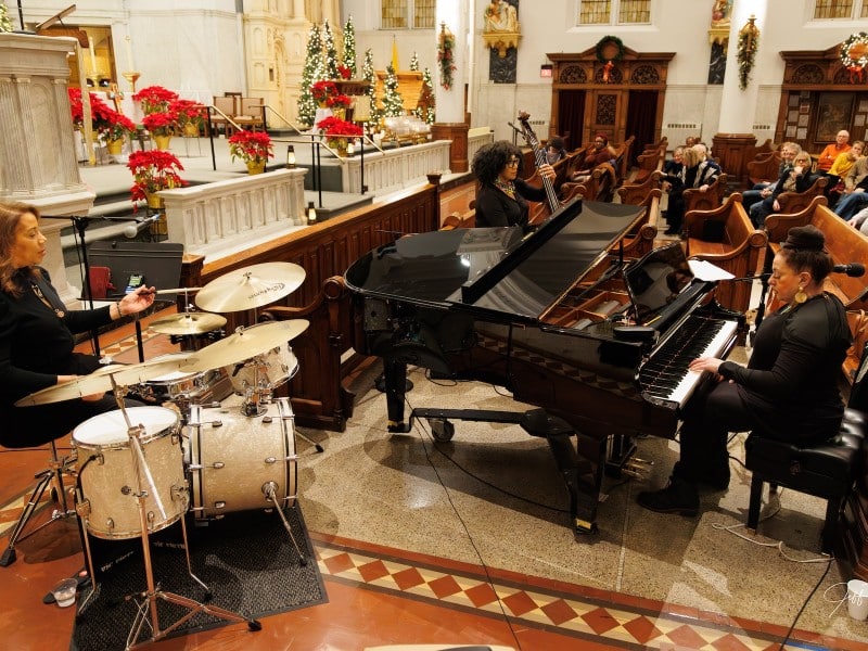
Concerts for Caring: Musical series raises funds to help Detroit’s homeless
Around 8,500 Detroiters are going through a stage of homelessness each year. A concert series from the Detroit’s Composer Laureate is offering help and hope.

Hemp 4 Humanity builds foundation for sustainable homes using all-natural, energy-efficient material
Cody Ley, a past CEDAM real estate development boot camp participant, is passionate about creating affordable, sustainable housing using hempcrete — a resilient, energy-efficient material. Through his nonprofit, Hemp 4 Humanity, he hopes to empower and connect communities to promote a circular economy.
